The rainy weather in Fairbanks broke for a few days, and to take advantage of the sun I decided to hike the Chena Dome trail. The 30 mile loop begins briefly in the boreal forest (and an old burned area) before climbing to traverse the alpine ridges. Of course, no hike in Interior Alaska would be complete without returning through a black spruce bog. The midpoint, Chena Dome, is the tallest point in the area.
It's interesting to note that the slopes are mostly bare on the north sides. Spruce at tree line often have no branches below the snow line (except a few at the very bottom), which you can see in the photo below.
Even up high, it was still hot! Everything is really green after all the rain we have had this June.
We found lots of ptarmigan...
...and even some chicks! They are so well camouflaged that it's hard to see them unless they move.
Ridge walking to eternity.
There were lots of wildflowers in the alpine, including more forget-me-nots than I've seen anywhere in the Interior!
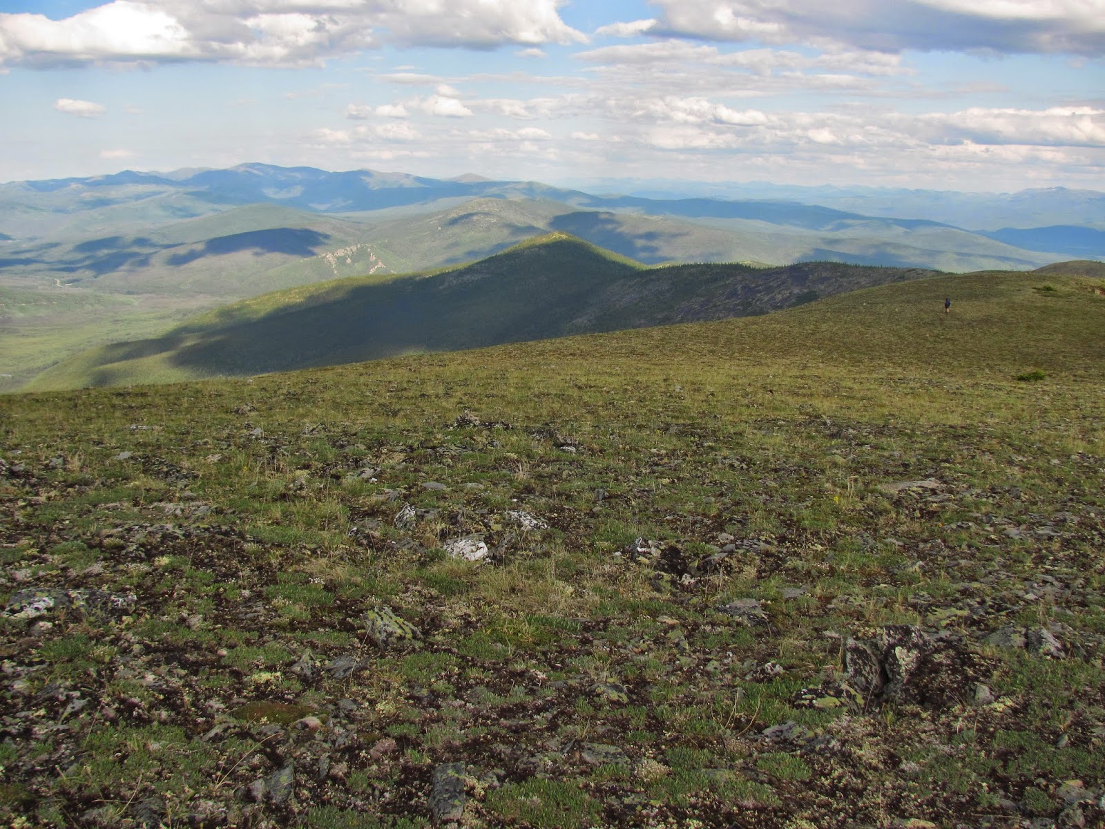
We will follow the ridge in the distance to the top of Chena Dome, which is farther to the right (outside of this image).
Freezing and thawing creates veins of dark granite in the hillsides.
We reached the far ridge! Now we follow this to the high point in the distance, which is Chena Dome.
At the top of Chena Dome with some welcome clouds.
We have descended to the other side of the dome and are heading back down, though there are quite a few smaller summits to climb over along the way.
Pieces of a plane from an old wreck are scattered around.
The valley in the distance is our return destination, about 5 miles out. The hike was beautiful and challenging, both mentally and physically. Having the visibility to see the distance before us was intimidating, and the scale of everything was so huge! The trail was physically challenging in that it had 14,000 ft. of elevation change, and we had to carry a lot of water weight as water was scarce along the trail.


